If you were anywhere in the Pacific Northwest this weekend you may have found it difficult to get from point A to point B without getting completely soaked by the massive amount of rain we received due to an atmospheric river.
In Washington state alone, about 2.8 trillion gallons of water had fallen by Saturday morning, according to Michael Snyder, former employee of the National Weather Service.
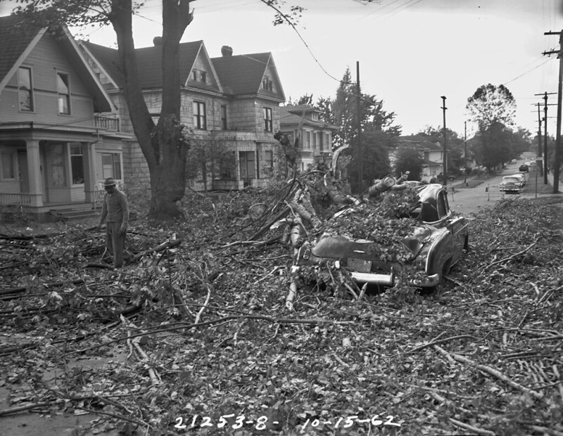
A vehicle crushed in the Columbus Day Storm of 1962 (Image courtesy of SDOT Photos / Flickr)
What Is An Atmospheric River?
An atmospheric river is a narrow region in the atmosphere that carries large amounts of vapor. The water vapor is usually picked up from warmer or tropical areas, and falls onto cooler regions. Typically atmospheric rivers are about one mile up in the sky and can be hundreds of miles wide and thousands of miles long. When the atmospheric river makes landfall it can drop catastrophic amounts of rain, sometimes lasting for days.
These storms accumulate 30-50% of all precipitation that falls on the West coast, according to the National Oceanic Atmospheric Administration (NOAA).
It's thought that these storms don't currently pose an environmental threat and are actually beneficial in droughts.
Scientists predict that's about to change and are warning of future megastorms in the Pacific Northwest.
Atmospheric River Categories
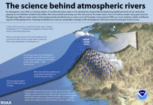
atmosphericrivers_final Photo via NOAA.gov
Atmospheric rivers have a category scale as follows:
- Category 1-2 Mostly beneficial, bringing much needed rain or snow.
- Category 3 is on the tipping scale of sometimes beneficial and sometimes not, usually based on if there were previous large amounts of precipitation.
- Category 4-5 Mostly hazardous, as the reservoirs usually can't keep up with the amount of rainfall, causing flooding.
Climate Change To Blame
As scientist have suggested the earth has slowly been getting warmer, at a rate of .32 degrees Fahrenheit each decade.
Warmer air creates perfect conditions for atmospheric rivers to hold even more moisture, thus posing higher threat of category 4-5 storms.
A warming climate also lends way to less snow in the winter, and less snow in the winter creates potential for more flooding.
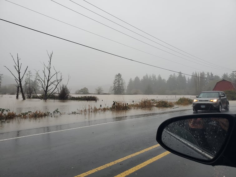
Oregon Flash Flooding on 11/12/21. Photo by Tyler Willford of That Oregon Life.
The way this works is that snow storms in the mountains usually form a snowpack, and then slowly melt off in the spring. If instead the warm air brings rain all at once rather than snow, it will cause reservoirs to overflow and create mass flooding.
What Is A Megastorm?
Lightening Photo by Blondinrikard Froberg Via Flickr CC2
A megastorm will most likely look like a series of massive rain storms hitting one after the other and lasting for weeks at a time.
Alan Rhoades, a hydroclimate research scientist, predicts that with the climate warming, the size of atmospheric rivers will increase, as does number of atmospheric rivers making landfall.
Damage In Numbers
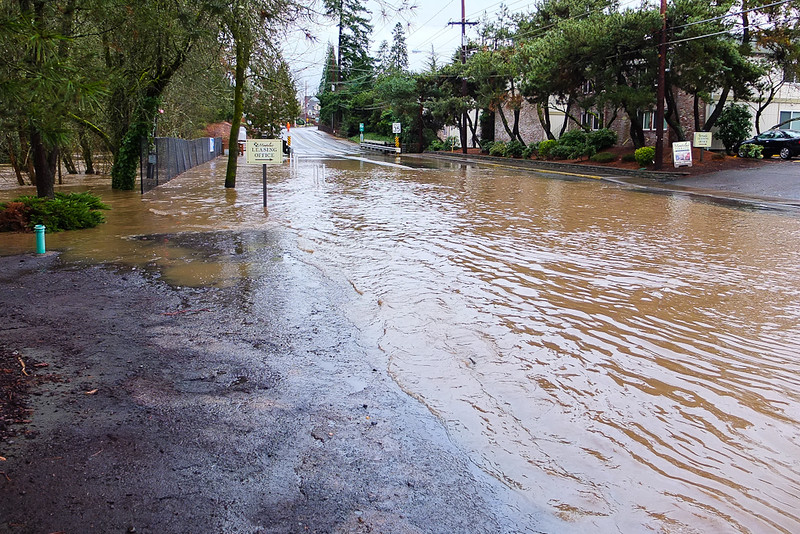
Flooding in Portland Oregon. Photo by Tom Good via Flickr CC2.
Currently the cost of flood damage caused by atmospheric rivers per year in the Western United States is about 1 billion dollars according to research using flood insurance claims. Only 13 category 3, 4, and 5 atmospheric rivers caused almost 27 billion dollars of damage in a 40-year span of time. Looking at numbers like this, its easy to assume that a megastorm would be devastating to the Pacific Northwest.
“If we’re smart about where we develop in the coming decades, then we may actually be able to reduce the damages relative to our projections. If we continue to build in floodplains then things will get worse,” said Tom Corringham, a research economist at the Scipps Instituion of Oceanography at UC San Diego.
What Does This Mean For The Pacific Northwest?

Afternoon fog and the trees of the Pacific Northwest - Ecola State Park, Oregon (Image by Justin Kern / Flickr)
If global warming trends continue on this path, Rhoades concluded that category 4 and 5 atmospheric rivers are expected to double by the end of the century, potentially causing catastrophic flooding to affected areas, and costing nearly $390 million in flood damages in Oregon alone, based on a study by Corringham.
While we cannot say for certain whether these weather models or predictions will give way to a megastorm in our future, all signs point to the likelihood that we will.

