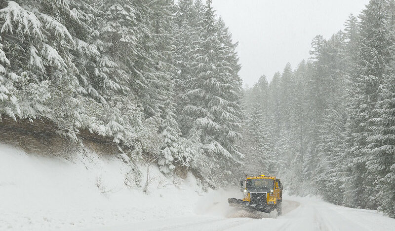
The National Weather Service has forecasted the return of rain and mountain snow to the Pacific Northwest, following a period of dry and sunny conditions. This will be the first significant snowfall of the season from Thursday to Saturday, potentially initiating winter recreational activities like skiing and snowboarding, while also posing serious travel challenges.
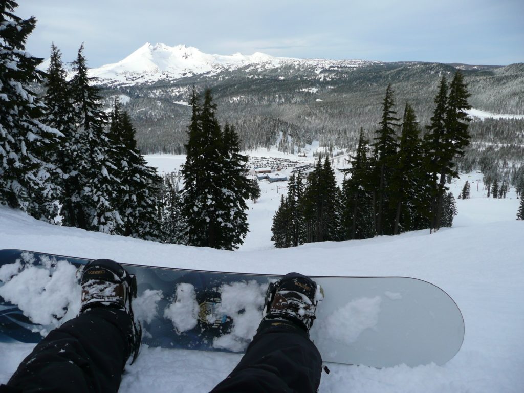
The snow is likely to start affecting travel on Thursday, November 30, with the most severe conditions and heaviest snowfall predicted for Friday, Friday night, and Saturday morning.
Forecasts predict 1 to 3 feet of snow above 3,000 feet in the Cascade mountains.
Beginning Thursday morning, winter weather advisories will be active across the Cascade Range, spanning from Southwest Washington to Southern Oregon. Above 3,500 feet, snow accumulations could reach up to eight inches by Friday morning. Gusty winds of up to 50 mph. accompanying the snow are expected to make travel through mountain passes challenging. Additionally, a winter storm watch indicates that the Cascades might receive another 20 inches of snow by Saturday afternoon. Meanwhile, areas at lower elevations are anticipated to experience several inches of rain from Wednesday to Sunday.
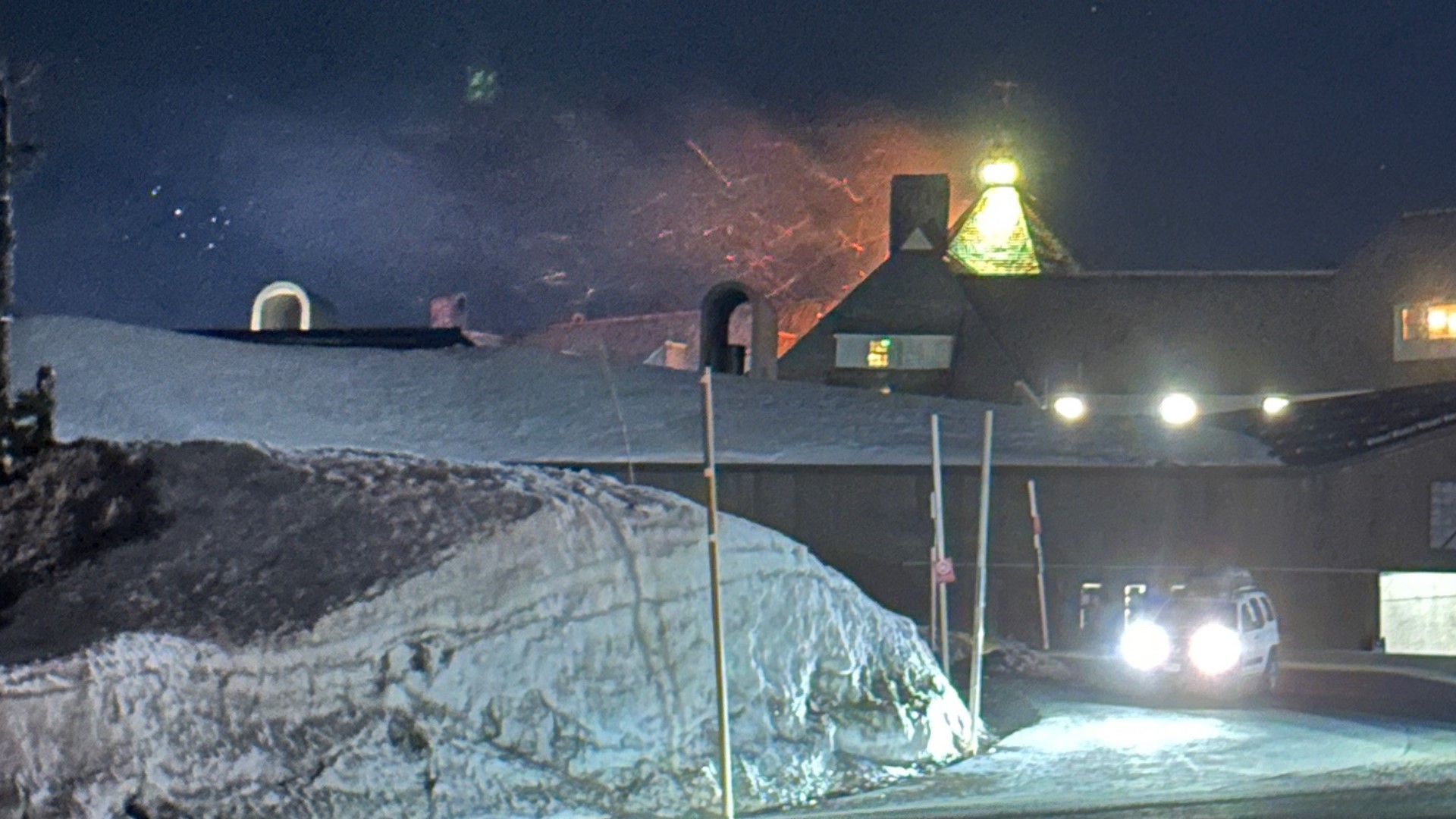
The most substantial snowfall is expected at key locations like Santiam Pass (Highway 20), Willamette Pass (Highway 58), and the Government Camp area on Mount Hood (Highway 26).
The NWS also has warnings in effect for the higher elevations of the Ochoco and Blue Mountain ranges, spanning east into Idaho.


